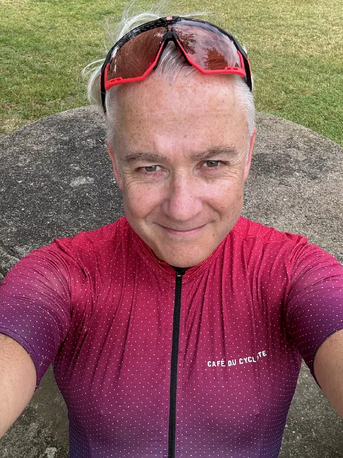
Hello, I'm Stevie.
Back during my studies, I joined the Staffordshire University mountain bike club, and I kept that up with colleagues once I started work. I would organise trips away to the new (at the time) trail centres, such as Coed y Brenin, Dalbeattie, and Glentress. We even travelled to the Alps for the trails around Les Gets and Morzine.
Gradually, my cycling time migrated on to the roads with some travelling for Sportives. Combined with enjoying running and swimming, this led me to competing in triathlons.
At some point, I learned about the véloroutes of Europe and France. As a kid, I lived in Paris for four years, and I’ve loved France ever since. In 2024, thinking about ideas for a vacation and wanting to explore France, I had the idea to try La Loire à Vélo, known as one of the best cycle routes in France; around 800km from Nevers near the source of the Loire, all the way to the Atlantic coast. I went to the Fnac website and bought a pile of books about cycle routes in France. In 2025 I picked on the Canal des Deux Mers from Bordeaux to the Mediterranean.
I’m loving this as an approach to travel, riding a bike with my luggage attached, discovering new places and people, eating the food, drinking the wine, and learning the history.
This site exists to document those trips and whatever comes next. The posts are a mix of day-by-day route notes, photos, and the odd bit of practical information in case you’re planning something similar.
No ads. No newsletter. No tracking beyond what Cloudflare logs at the edge. If you want to follow along, the RSS feed is here.
The site itself is built with Hugo and deployed via Cloudflare Pages. Maps use Leaflet with OpenStreetMap tiles. The source code is on GitHub if you’re curious.
The source code includes an extensive CLAUDE.md and a design skill generated from Claude Design. If you would like to grab the code and put in your own content, then assistants such as Claude Code and Copilot will be able to read those files and help you get moving fast. But even without them, the site has been designed to be very easy to work with. Take a look at the README.md and start your own journey.
In my day job, I develop software. I also help out at the Armenian Institute, where I’m currently on the Board of Trustees. If you’re curious about that, then feel free to check out my blog.